


CRM - Cockpit Resource Management
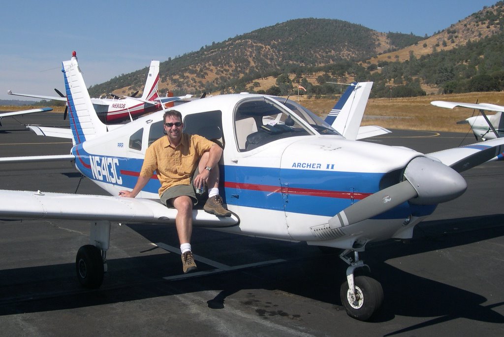
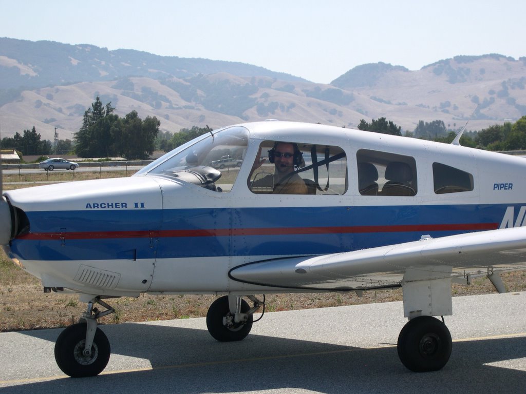
Sunday's flight was once again a blast. We set up for a flight to King City (KIC) via Salinas (SNS) and diverted under the hood just before reaching Salinas to Watsonville (WVI). Once again the importance of CRM became clear in my training and so I thought I'd log a few more observations.
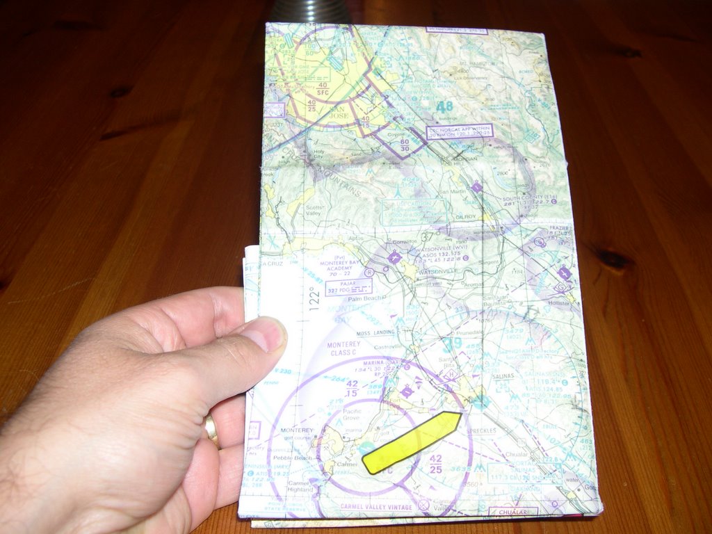
Even a sectional chart can become a nusance during flight. Mine always got in the way. Folding the map properly so it shows the general area of flight including some inches either side for diversion is generally a good practice that saves valuable time.


The radio frequency log I put together that lists all used frequencies in order of their use (as well as a few I might not use) once again sped up my radio and navigation work. So did the preprinted ATIS form I keep on the same sheet. The only refinement I will make is to not only log VOR frequencies, but also the radials I want to intercept. I had it on the flight plan, but this way I won't have to flip back and forth. Ultimately I'll probably merge the two into one piece of paper.
Check the volume on the radios (voice and NAV) prior to flight by pulling the squelch. Our COM1 barely registered with 3/4 of the volume up. I had to change radios to read ground until we had that figured out. It ended up readable cranked all the way up.
I was using a stop watch to track when to switch tanks. Would have been great had I had a place to actually mount the thing. Next time I'll slap a piece of velcro on the joke and stick it there. This time I tried just timing the tank change, but I think I'll go back to writing down the actual time of the next change as well so I can back it up with my wrist watch. I inadvertently stommed the times (because it wasn't mounted) and lost track of my time to change.
My watch wasn't tight on my wrist and had turned. I had to twist my arm in order to read the time while keeping one had on the joke during our diversion. Hard to write down time of heading change if I can't get to the bezzle of my watch. Next time I'll also synch my watch to that of my passenger. It makes for interesting and unnecessary conversation when two watches aren't showing the same time.
This time I had my short ruler ready. Much easier to use in flight than that wieldy big one and always accessible in my knee board.
Out of all this an idea is starting to develop for a CRM checklist prior to flight. Just to check that all the pieces are in place. Will have to think about that one.
After our laning in Watsonville we headed back to Reid Hillview. En route we were rewarded with a magnificent sunset. An end to yet another glorious outing.
posted by Alex Hammer | 1:54 PM
|
2 comments
![]()
![]()
